Zuluk and the Old Silk Route Belt (East Sikkim):
A Living Corridor of History, Altitude, and Himalayan Memory
Where Roads Remember Empires
Zuluk is not a destination that announces itself loudly. It reveals itself gradually, through winding mountain roads, disciplined settlements, and landscapes shaped as much by history as by geology. Located in East Sikkim at an altitude of approximately 10,100 feet, Zuluk forms a vital node along the historic Old Silk Route—a trans-Himalayan trade corridor that once connected the Indian subcontinent with Tibet and Central Asia. Today, this quiet mountain settlement stands as a living archive of movement, negotiation, and survival at the frontier.
Travel through the Zuluk belt is not merely a scenic journey; it is an immersion into a landscape where geography dictated commerce, culture, and conflict for centuries. The terrain is dramatic, the climate uncompromising, and the human presence remarkably disciplined. For the serious traveler, Zuluk offers not spectacle alone, but layered understanding—of altitude life, strategic history, and the enduring relationship between road and region.
Destination Overview: Zuluk and the Old Silk Route Belt
Zuluk lies within the restricted border region of East Sikkim, close to the Indo–China frontier. Historically known as Dzuluk, the village was once a resting point for traders and caravans navigating the Silk Route’s eastern Himalayan branch. The modern settlement, while modest in scale, plays a strategic role due to its proximity to high-altitude passes and military infrastructure.
The Old Silk Route belt in East Sikkim includes a sequence of locations such as Rongli, Lingtam, Padamchen, Zuluk, Thambi View Point, Kupup, and Nathang Valley. Together, these places form a continuous ascent from subtropical river valleys to cold, high-altitude plateaus. The transition is abrupt and educational, making this belt one of the most geographically instructive travel circuits in the Eastern Himalaya.
Historical Context: The Eastern Himalayan Silk Route
The Silk Route was never a single road but a network of paths adapted to terrain, climate, and political control. The East Sikkim corridor functioned as a crucial feeder route connecting the Chumbi Valley of Tibet with the plains of Bengal. Trade items included wool, salt, silk, tea, horses, and medicinal herbs, transported by mule caravans and human porters.
Zuluk’s importance stemmed from its position as a staging ground before the final ascent toward high passes. British colonial records note the route’s strategic value, leading to early military surveys and road improvements during the late 19th and early 20th centuries. After the mid-20th century, geopolitical shifts closed the route to commercial trade, transforming it from a mercantile corridor into a controlled frontier zone.
Geography and Landscape Character
The defining feature of the Zuluk belt is its dramatic elevation gain within a short horizontal distance. The road from Rongli to Zuluk climbs sharply, negotiating dense forests, exposed ridges, and landslide-prone slopes. This rapid transition creates distinct ecological zones stacked vertically rather than spread horizontally.
Zuluk itself is set on a steep mountainside, with terraced habitations and carefully aligned roads. The surrounding ridges offer expansive views of snowbound peaks during clear weather, while frequent cloud movement gives the landscape an ever-shifting character. The sense of exposure is constant; valleys drop sharply, and horizons feel close enough to touch.
Climate and Seasonal Behavior
Zuluk experiences an alpine climate marked by sharp temperature variations. Summers are short and mild, while winters are long and severe. Snowfall is common from December to February, often rendering roads temporarily inaccessible. Even during summer, night temperatures can drop close to freezing.
Weather conditions can change rapidly. Clear mornings may give way to fog or cloud cover by afternoon, particularly during the monsoon months. This volatility shapes daily life and travel planning, reinforcing the importance of timing and preparedness in this region.
Best Time and Season to Visit
Spring and Early Summer (April to June)
This period offers the most balanced conditions for travel. Rhododendrons bloom along lower stretches of the route, and visibility is generally good. Temperatures remain manageable, and road access is typically reliable after winter snow clearance.
Autumn (September to October)
Post-monsoon autumn is another favorable window. Skies are often clear, offering long-distance mountain views. However, nights grow colder, and early snowfall can occur toward late October, requiring flexible planning.
Winter and Monsoon Considerations
Winter travel is challenging due to snow and ice, while monsoon months bring landslide risks along lower elevations. These seasons are generally avoided by most travelers unless conditions are closely monitored.
Ideal Travel Duration and Acclimatization
A comprehensive exploration of the Old Silk Route belt requires a minimum of 4 to 5 days, excluding travel to and from Sikkim. This duration allows gradual altitude gain and sufficient time to observe landscape transitions without undue physical strain.
Overnight stays at intermediate elevations such as Padamchen or Zuluk are essential for acclimatization. Rapid ascent increases the risk of altitude-related discomfort, particularly for visitors arriving directly from lowland regions.
Route and Accessibility
The primary access point to the Old Silk Route is Rongli, a town connected by road from Gangtok and Siliguri. From Rongli, the route ascends through Lingtam and Padamchen before reaching Zuluk. The road is narrow and winding, engineered primarily for strategic rather than commercial traffic.
Travel in this region is regulated due to its proximity to international borders. Special permits are required, and movement follows designated routes and timings. Vehicles must be mechanically sound, as repair facilities are minimal beyond lower elevations.
Key Attractions and Highlights
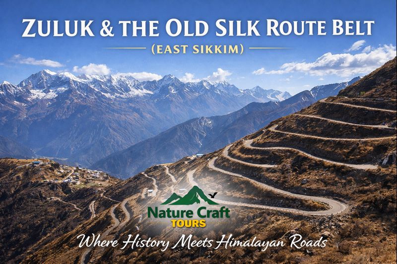
Zig-Zag Road (Zuluk Loops)
One of the most visually striking features of the region is the series of hairpin bends climbing above Zuluk. Viewed from elevated points, the road appears as a geometric pattern etched into the mountainside, illustrating both engineering ingenuity and the challenges of Himalayan mobility.
Thambi View Point
Located above Zuluk, this viewpoint offers panoramic vistas of the Eastern Himalayan range. On exceptionally clear mornings, snow peaks catch early sunlight, creating a brief but unforgettable visual experience.
Nathang Valley
Often described as a high-altitude plateau, Nathang Valley presents a stark contrast to forested lower regions. Its open expanses, minimal vegetation, and extreme climate provide insight into life at the upper limits of habitation.
Kupup Lake and Plateau
Situated near the Indo–China border, Kupup features a high-altitude lake and expansive grazing grounds. The area underscores the strategic significance of the region while offering a rare sense of spatial openness at elevation.
Cultural and Social Landscape
The population of Zuluk and surrounding villages is small and closely connected to administrative and military infrastructure. Civilian life operates in coordination with border regulations, shaping a culture of discipline, punctuality, and collective responsibility.
Residents primarily belong to Nepali and Tibetan-origin communities, with cultural practices reflecting a blend of Himalayan traditions. Religious life centers on Buddhism, expressed through prayer flags, chortens, and household shrines rather than large monastic complexes.
Ecological Sensitivity and Conservation Realities
The Old Silk Route belt traverses ecologically sensitive zones. Forests at lower elevations host diverse flora and fauna, while higher regions support specialized alpine ecosystems. Human impact, though limited by regulation, has long-term implications due to slow regeneration rates at altitude.
Waste management is a persistent challenge. Visitors are expected to adhere to strict carry-back principles, as disposal facilities are minimal and environmental recovery is slow.
Practical Insights for Travelers
Preparation for travel along the Old Silk Route must prioritize health, documentation, and weather readiness. Warm clothing is essential year-round, and hydration should be maintained despite reduced thirst at altitude.
Travelers should be prepared for basic accommodation standards, limited connectivity, and simple local meals. These constraints are part of the region’s character rather than deficiencies.
Contextual Travel Perspective
For travelers accustomed to India’s lowland or coastal geographies, the Silk Route experience offers a striking contrast. Just as a Sundarban Tour introduces visitors to tidal rhythms and mangrove ecologies, Zuluk introduces the logic of altitude—where roads, weather, and survival are tightly interlinked.
Integrating Zuluk into Broader Travel Understanding
Exploring regions like Zuluk alongside other ecologically distinct destinations—such as through a thoughtfully planned Sundarban Tour Package—enhances appreciation for India’s geographical breadth. Each landscape operates under different constraints, demanding different forms of adaptation and respect.
A Corridor That Still Teaches
Zuluk and the Old Silk Route belt do not present themselves as destinations of leisure. They function instead as open classrooms—teaching lessons in geography, history, and human resilience. The roads here were not built for comfort, and the settlements were not shaped for convenience.
What Zuluk offers is perspective: on how landscapes shape movement, how history leaves physical traces, and how silence can be as instructive as spectacle. For travelers willing to engage with its demands, the Old Silk Route remains not just a path through mountains, but a journey through layered memory.