Thangu and Chopta Valley Belt:
A High-Altitude Chronicle of Pastoral Landscapes, Sacred Frontiers, and Alpine Ecology
Entering the Upper Himalayan Pasturelands
The Thangu and Chopta Valley belt marks a decisive transition in the geography of North Sikkim—from forested mid-altitudes to the vast, wind-sculpted highlands that lie close to the Indo-Tibetan frontier. This region is not simply a sequence of scenic stops; it is a cultural and ecological threshold where human habitation thins, seasonal rhythms dominate daily life, and the landscape asserts its authority over movement and settlement.
Travel through Thangu and the adjoining Chopta Valley is best understood as a gradual ascent into a different Himalayan logic. Roads follow river valleys carved by glacial systems, villages function primarily as seasonal bases, and the environment dictates pace, preparedness, and perception. For the experienced explorer, this belt offers insight into how altitude, climate, and history converge to shape one of Sikkim’s most distinctive high-mountain zones.
Destination Overview: Thangu and the Chopta Valley Belt
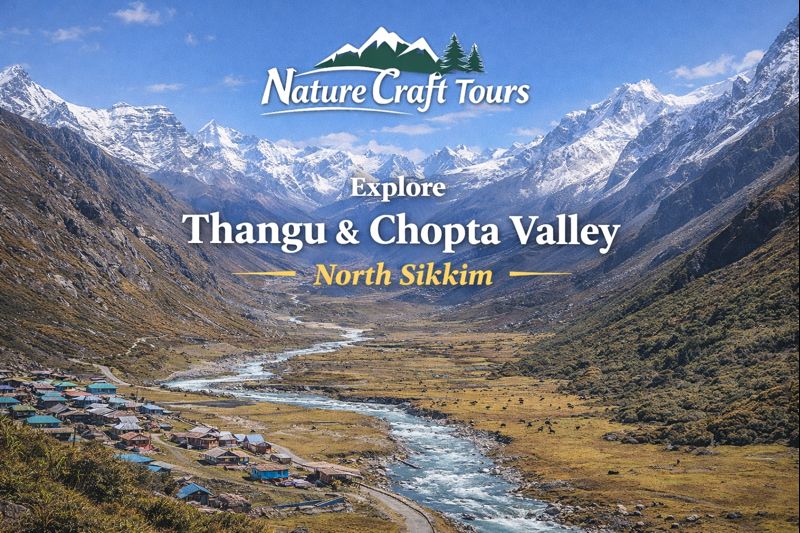
Thangu is a high-altitude village situated in North Sikkim, positioned along the upper reaches of the Teesta river system. Beyond Thangu, the landscape opens into the expansive Chopta Valley—a broad alpine basin historically used as grazing ground and transit corridor toward higher passes. Together, these form a continuous belt characterized by open meadows, braided streams, and distant snow-bound ridges.
Unlike densely settled Himalayan valleys, this belt supports limited permanent habitation. Human presence here is shaped by transhumance, border logistics, and short growing seasons. The result is a landscape that feels both inhabited and profoundly empty, depending on season and weather.
Altitude and Terrain Profile
Elevations range from approximately 3,900 meters at Thangu to well over 4,000 meters across parts of the Chopta Valley. The terrain alternates between gently undulating pasturelands and stark, rocky expanses. During winter months, much of the region is snow-covered, while summer reveals a surprisingly rich alpine grassland ecosystem.
Historical and Cultural Context
Historically, the Thangu–Chopta belt functioned as part of a broader network of high-altitude routes connecting Sikkim with Tibet. Traders, herders, and monks traversed these corridors, using natural valleys to navigate an otherwise formidable terrain. While formal trade has long ceased, the imprint of these movements remains embedded in local memory and place names.
Pastoral Traditions and Seasonal Life
The cultural fabric of this belt is closely tied to pastoralism. Yaks, sheep, and horses have long been integral to subsistence and mobility. Even today, seasonal grazing defines land use, with families moving livestock according to weather patterns and pasture availability. Permanent structures are few, reflecting the transient nature of habitation.
Ecology of the High-Altitude Valley System
The Thangu and Chopta Valley belt lies within a sensitive alpine ecological zone. Short summers, intense ultraviolet exposure, and extreme temperature fluctuations create a challenging environment where only specialized flora and fauna can thrive.
Alpine Flora
During late spring and summer, the valley floor supports a mosaic of alpine grasses, dwarf shrubs, and seasonal wildflowers. These include hardy species adapted to thin soils and strong winds. The brief flowering season transforms the otherwise austere landscape into a subtle palette of color.
Wildlife Presence
The region supports species such as Himalayan marmots, blue sheep, and high-altitude birds of prey. Wildlife sightings are sporadic but significant, reflecting the relatively undisturbed character of the valley system.
Route and Accessibility
Access to Thangu and the Chopta Valley typically begins from Gangtok, proceeding through the North Sikkim axis via lower-altitude staging points. Roads follow river valleys and gradually ascend, with conditions varying by season and weather. Permits are required for travel beyond certain points, reflecting the region’s strategic sensitivity.
The final stretches beyond Thangu toward Chopta Valley are often dependent on road conditions and administrative clearance. Travel here should be planned with flexibility and awareness of sudden weather changes.
Ideal Travel Duration
A minimum of two nights is recommended to meaningfully experience Thangu and the Chopta Valley belt, primarily to allow for acclimatization. Travelers with a research or photography focus may choose to allocate additional time to observe environmental changes across different times of day.
Best Time and Season to Travel
Late spring to early autumn provides the most reliable access. During this period, snow recedes, roads stabilize, and alpine vegetation becomes visible. Winter travel is extremely limited and subject to closures due to snow and extreme cold.
Key Attractions and Experiential Highlights
- High-altitude landscapes of Thangu village
- Expansive alpine meadows of Chopta Valley
- Observation of pastoral life and seasonal grazing
- Glacial river systems and braided streams
- Panoramic views of surrounding snow ranges
Cultural and Strategic Significance
Beyond ecology and scenery, the Thangu–Chopta belt holds strategic importance due to its proximity to international borders. This has influenced infrastructure development, settlement patterns, and travel regulations. The region thus exists at an intersection of natural heritage and geopolitical reality.
Practical Insights for Travelers
Travel at these altitudes demands physical preparedness and respect for environmental limits. Acute altitude effects are a genuine concern, and gradual ascent is essential. Facilities are minimal, and weather conditions can change rapidly, making self-discipline and adaptability critical.
For travelers interested in understanding India’s ecological breadth, journeys through such high-altitude systems often gain depth when contrasted with lowland environments. Some explorers later choose to experience deltaic ecosystems through a Sundarban Tour, observing how geography shapes life at the opposite extreme.
Responsible Travel and Environmental Awareness
The alpine ecosystems of Thangu and Chopta Valley are fragile. Responsible travel practices—such as minimizing waste, respecting grazing lands, and avoiding wildlife disturbance—are essential. The region’s resilience depends on low-impact visitation rather than volume-driven tourism.
Thangu and Chopta Valley within Broader Himalayan Travel Design
Within a larger Himalayan itinerary, this belt functions as a culmination point—a place where altitude, openness, and silence redefine the travel experience. It offers perspective not only on landscape but on scale, reminding travelers of the vastness that lies beyond human settlement.
Some seasoned travelers intentionally design journeys that span contrasting environments, moving from alpine valleys to riverine forests through options such as a Sundarban Tour Package from Kolkata, completing a comprehensive exploration of India’s geographic diversity.
Reading the High Valleys of North Sikkim
The Thangu and Chopta Valley belt is not defined by monuments or density, but by space, altitude, and continuity. Its value lies in what it reveals slowly—about pastoral traditions, alpine ecology, and the limits of human presence in the high Himalayas.
For travelers willing to engage patiently, this region offers more than scenery. It provides a lesson in scale, resilience, and coexistence, reminding us that some of the Himalayas’ most profound stories are written not in stone, but across wind-shaped grasslands and silent valleys.